

The Highlands is Louisville, Kentucky's most culturally distinctive urban neighborhood — a linear corridor stretching along Bardstown Road and Baxter Avenue from downtown's eastern edge through the historic residential blocks of Cherokee Triangle that has made it the defining expression of Louisville's urban character, progressive civic culture, and independent commercial identity for more than a century.
With its concentration of locally owned restaurants, vintage shops, live music venues, and the Victorian and Craftsman residential architecture lining its side streets, the Highlands consistently ranks among the most walkable and most culturally vibrant neighborhoods in Kentucky — drawing residents and visitors who seek the authentic urban experience that Louisville's suburban corridors cannot provide.
For Louisville residents, Jefferson County families, and anyone seeking to understand the urban character that distinguishes Louisville from comparable mid-sized American cities, the Highlands provides the most concentrated expression of what the city values about its civic life.
The Highlands' Geographic Character and Bardstown Road Corridor
The Highlands' geographic identity is organized around Bardstown Road — one of Louisville's most historically significant commercial corridors whose north-south alignment from downtown creates the commercial spine organizing the neighborhood's retail, dining, and entertainment activity.
The road's name reflects its historical function as the primary route connecting Louisville to Bardstown, the historic Kentucky town whose distilling heritage preceded Louisville's own urban development — giving the corridor historical depth beyond its contemporary identity as an urban restaurant and retail strip.
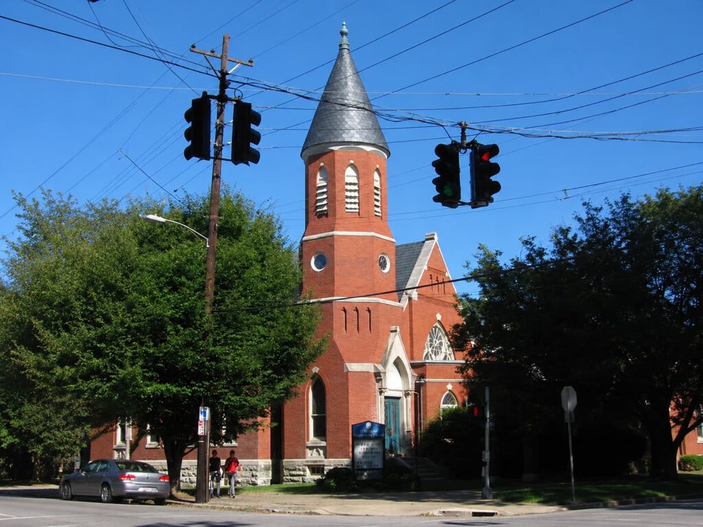
The neighborhood's residential fabric contains some of Louisville's most architecturally significant Victorian, Queen Anne, and Craftsman housing stock, representing development patterns of the late nineteenth and early twentieth centuries when the Highlands was Louisville's most fashionable suburban expansion zone.
The streets of Cherokee Triangle — the historic preservation district bounded by Cherokee Road, Grinstead Drive, and Eastern Parkway — represent the most intact concentration of Victorian residential architecture in Jefferson County. The Old Louisville Historic District represents the complementary dimension of Louisville's Victorian architectural heritage — its preservation story running parallel to Cherokee Triangle's as the two most significant concentrations of historic residential architecture in the city.
From Streetcar Suburb to Urban Neighborhood
The Highlands developed primarily during the streetcar era — the late 1880s through the 1920s when electric streetcar lines along Bardstown Road made the neighborhood's residential blocks accessible to middle-class families seeking housing beyond downtown's increasingly industrial environment.
This streetcar suburb development pattern produced the walkable street grid, mixed-use commercial frontages, and modest lot sizes that give the Highlands its human-scaled urban character and distinguish it from the automobile-oriented suburban development that followed World War II.
The neighborhood's transition from fashionable streetcar suburb to revitalized urban neighborhood mirrors the trajectory of comparable American districts across the twentieth century — mid-century suburbanization, late twentieth century rediscovery by young professionals attracted by affordable housing and urban amenity, and the subsequent gentrification pressure that has made the Highlands one of Louisville's most expensive urban housing markets.
The Louisville Metro Government maintains neighborhood planning resources for Jefferson County communities including the Highlands — the civic framework within which the neighborhood's continued development is managed.
Cherokee Park and the Olmsted Legacy
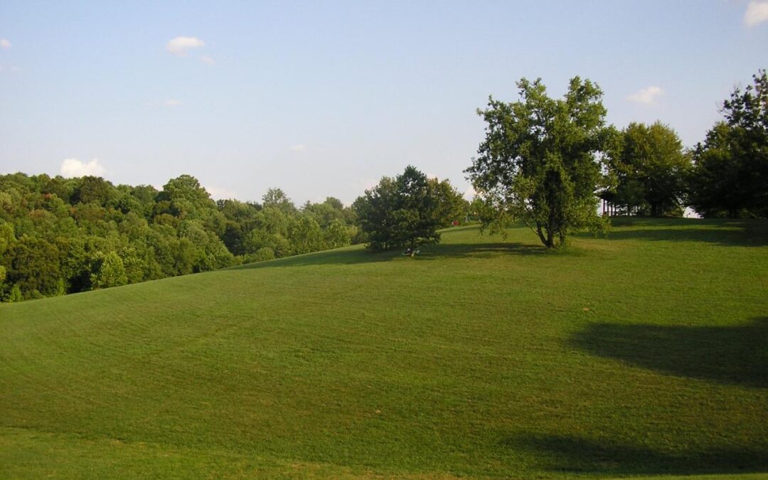
The Highlands' civic character is inseparable from Cherokee Park — the Frederick Law Olmsted-designed public park whose 409 acres of naturalistic landscape, formal meadows, and wooded creek corridors form the eastern boundary of the neighborhood's most prestigious residential blocks. Olmsted's 1891 design — part of the connected park and parkway system he designed for Louisville — created the naturalistic counterpoint to the Highlands' urban density that makes the neighborhood's combination of urban amenity and natural access genuinely exceptional among American neighborhoods of comparable scale.
The Cherokee Park connection gives the Highlands its most direct link to one of American landscape architecture's most significant legacies — Olmsted's work in Louisville representing one of his firm's most complete realizations of the connected park system concept.
The Olmsted Parks Conservancy maintains Cherokee Park and the broader Louisville Olmsted park system — ensuring that one of American landscape architecture's most significant urban park networks remains accessible to the Highlands community and the broader Louisville metropolitan area.
Kentucky's Climate and the Highlands' Seasonal Life
Louisville experiences a humid subtropical climate — with hot summers averaging July highs near 87°F, mild winters with average January lows near 26°F, and approximately 46 inches of annual precipitation according to NOAA climate data for Louisville. This climate creates the most comfortable outdoor conditions for the Highlands' sidewalk dining, outdoor festivals, and pedestrian commercial activity during the spring and fall months when Louisville's weather supports the community engagement that defines the neighborhood's public life.
The spring season brings the Highlands' residential streetscapes to their most visually spectacular expression — the flowering trees and Victorian and Craftsman homes' front gardens creating the seasonal botanical display that draws visitors from across Louisville during the brief but intense Kentucky spring flowering window.
The Highlands' Identity in Louisville's Urban Landscape
The Highlands occupies a position in Louisville's civic identity that extends well beyond its function as a residential neighborhood — it represents the physical embodiment of Louisville's commitment to urban living, independent commercial culture, and the walkable neighborhood environment that distinguishes genuinely urban places from the suburban alternatives dominating Jefferson County's broader landscape.
The neighborhood's concentration of independent businesses reflects both the consumer preferences of residents who actively choose local establishments and the community advocacy that has resisted the chain commercial formats homogenizing comparable corridors in other American cities.
Louisville's Museum Row cultural corridor reinforces the Highlands' position within the city's broader cultural geography — complementing the neighborhood's independent commercial culture to give Louisville one of the most complete urban cultural landscapes of any mid-sized American city.
For Jefferson County residents and anyone exploring the neighborhoods, urban character, and community identity of Louisville Kentucky, the Highlands remains the most concentrated and most revealing expression of what Louisville's urban core has to offer — a neighborhood whose historic architecture, independent commerce, and natural amenity makes it one of the most genuinely livable urban districts in the American South.